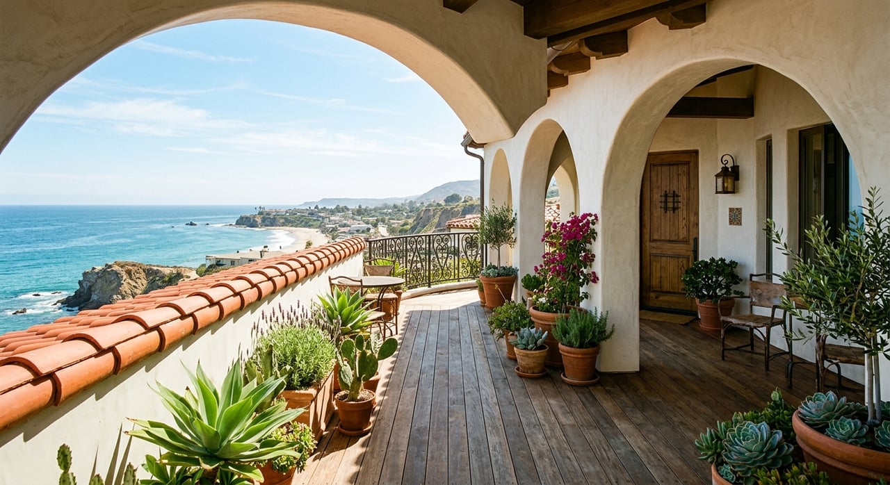
Is your ocean view safe when a neighbor plants a hedge or adds a second story? In Laguna Beach, views are part of the lifestyle you’re buying, so it’s natural to wonder what the city protects and what it does not. With the right plan, you can honor the coastline, avoid delays, and still create the home you want.
This guide explains what a view corridor is in Laguna Beach, how it affects landscaping, fences, and remodels, and what to check before you buy or build. You’ll learn practical steps to reduce risk and keep approvals moving. Let’s dive in.
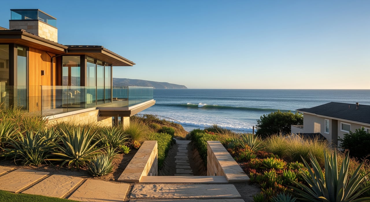
View corridor basics
A view corridor is a defined line of sight that a city aims to keep open, usually toward the ocean, coastline, or scenic ridges. In Laguna Beach, view protection sits within the city’s coastal planning framework, which implements the California Coastal Act through a Local Coastal Program and Land Use Plan.
The city applies these policies during planning and design review. When you propose an addition, a tall fence, or significant new landscaping, reviewers evaluate whether your plans would block an identified view. Some standards are written into code, while others are applied case by case using design review criteria and past decisions.
Public vs. private views
Laguna Beach places a strong emphasis on public ocean views visible from streets, parks, and paths. Private views, like the panorama from one home across another, are generally not guaranteed unless a recorded view easement or similar agreement exists. That is why two homes on the same block may face different outcomes based on mapped public view corridors, policy priorities, and the details of their proposals.
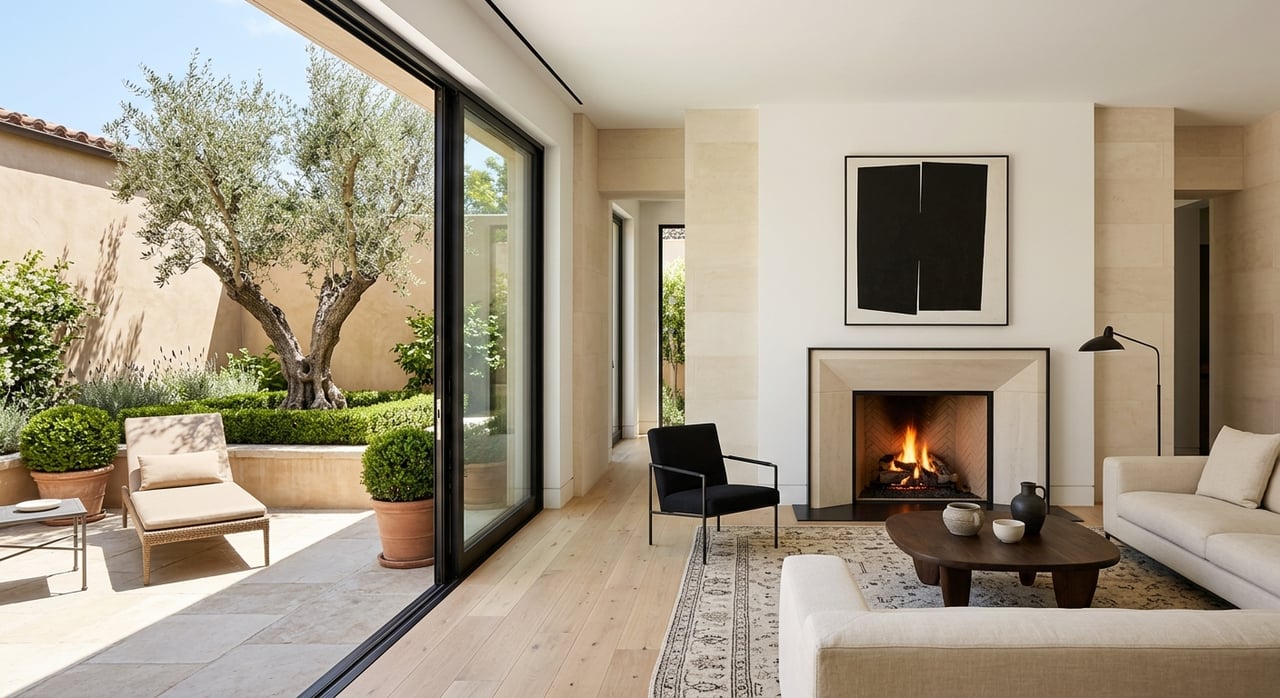
How landscaping is affected
Tall trees and dense hedges can close a sightline as they mature. In view‑sensitive areas, landscaping plans often favor low‑growing species and shaped hedges, with conditions to maintain height over time.
- Choose low‑profile plants in frontage areas that relate to public view corridors.
- Expect to document species, placement, and mature heights when you submit permits.
- Check before removing established trees, especially on blufftop or steep parcels, or if they were part of an approved plan.
The practical takeaway: design for growth. If a hedge will exceed an acceptable profile at maturity, you may be required to revise the plan or maintain it at a specific height.
Fences and walls near view lines
Fences and walls are a common trigger for review. Where the public experiences a key sightline, you may face height limits or a requirement for visually permeable designs.
- Standard backyard fences may be ministerial, but taller or front‑yard installations can require permits and design review.
- Replacement fences often must match previously approved height and design.
- Expect closer scrutiny along streets and paths that frame ocean views.
Designing a fence that preserves transparency and respects height standards can speed approvals and avoid costly revisions.
Remodels, additions, roofs, and decks
New massing is where view issues most often arise. Second stories, roof features, elevator penthouses, chimneys, and deck railings can protrude into protected sightlines.
- Height, setback, and massing controls tend to be stricter in view‑sensitive areas.
- You may be asked to submit sightline studies, visual simulations, or photomontages.
- Review boards often favor designs that step volumes down, reduce plate heights, and use materials and colors that minimize perceived bulk.
Small choices matter. Glass railings, lower parapets, and stepping additions back from vantage points can preserve views and reduce friction in review.
Due diligence before you buy
If a view is part of your decision, verify early and document what you see during escrow.
- Request from the seller or agent:
- Recent planning and building permits for the property and adjacent lots.
- Any recorded view easements, open‑space easements, or restrictive covenants.
- Notices of pending planning applications on neighboring parcels.
- HOA or CC&R rules related to exterior changes.
- Check public records:
- Ask the Laguna Beach Planning & Building Department about permit history and whether the property lies in the coastal zone or a mapped scenic area.
- Review Local Coastal Program and Land Use Plan maps for public view corridors or scenic resource policies.
- Scan Design Review Board and Planning Commission agendas or minutes for nearby precedent.
- Search the county recorder for recorded easements or restrictions.
- Walk the site:
- Visit at different times of day and seasons to understand light, foliage, and sightlines.
- Photograph current views and nearby elements that could change.
Planning your project as an owner
Start early with a consult and a clear submittal. This lowers risk and shortens timelines.
- Meet planning staff for a pre‑application conversation to learn if your project is ministerial or discretionary.
- Bring in experienced help: an architect versed in coastal review, a surveyor for sightline diagrams, and a landscape architect for a low‑scale planting plan.
- Include visual analysis with your application to show how you protect key views.
Practical design tips that help:
- Keep massing low and stepped, and pull taller elements away from public vantage points.
- Use transparent railings and limit rooftop elements that jut above the envelope.
- Select low‑growing plants near frontage areas and along known view cones.
- Where privacy is important, consider removable screens or layered plantings that remain below view thresholds.
Costs and timelines to expect
Discretionary reviews and coastal permits add time and complexity. Plan for:
- Longer timelines, from several weeks to months, especially if revisions or appeals occur.
- Higher soft costs for surveys, sightline studies, and visual simulations.
- Conditions of approval that may require design changes or specific maintenance.
Building a realistic schedule and budget at the outset helps you avoid surprises once you are in review.
If a neighbor starts work
Before you react, verify the facts.
- Check whether the work requires permits and if they were obtained.
- If a permitted project seems to block an established public view, review the decision record and speak with planning staff about options.
- If the issue is a private view, look for recorded easements or CC&Rs. Many private view claims are contractual rather than automatic in city code.
A calm, documented approach tends to get you further than informal complaints, especially in view‑sensitive areas.
Common pitfalls to avoid
- Assuming a view is automatically protected without a mapped corridor or easement.
- Planting, trimming, or building without permits, which can lead to stop‑work orders, fines, and removal.
- Overlooking HOA or CC&R rules that can be stricter than city standards.
- Failing to document baseline views at purchase, which weakens future claims.
Real‑world scenarios in Laguna Beach
- Blufftop homes: small changes like a higher privacy wall or raised planters can affect public beach views and draw careful review.
- Cliffside streets: properties above popular walkways often face tight limits on fence height and rooftop elements to preserve street‑level sightlines.
- Ridge and hillside parcels: rooflines that project above ridges can trigger scenic resource concerns, prompting massing and silhouette adjustments.
- Side‑by‑side lots: a second‑story addition may engage neighbor input at the Design Review Board stage, leading to stepped designs or adjusted roof forms.
Where to verify and what to do next
For the most current standards and procedures, consult:
- Laguna Beach Municipal Code for height, setback, fence, and design‑review rules.
- Laguna Beach Local Coastal Program and Land Use Plan for scenic and visual resource policies.
- Planning & Building Department for permit records, pre‑application meetings, and submittal guidance.
- Design Review Board and Planning Commission agendas for local precedent.
- City GIS or zoning maps for overlays and mapped view corridors, if available.
- County recorder or your title company for recorded view easements and CC&Rs.
Next steps:
- Ask planning staff whether your property lies in a mapped scenic or view‑corridor area.
- Order permit history for your property and recent nearby projects.
- Obtain a site survey and commission a basic sightline study if you plan a remodel.
- Prepare a simple landscaping or fence plan with species and heights and confirm permit triggers.
- Incorporate view‑friendly design choices before you submit to reduce revisions and keep momentum.
Ready to make a move or considering a remodel that touches a view corridor? Let our local guidance clear the path. For private advice tailored to your property and goals, connect with Domaine Luxury Properties.
FAQs
What is a view corridor in Laguna Beach?
- A view corridor is a protected line of sight, usually toward the ocean or scenic ridges, that the city seeks to keep open when reviewing landscaping, fences, and building plans.
Are public ocean views prioritized over private views?
- Yes. Public views from streets, parks, and walkways receive strong emphasis in review, while private views are typically protected only if a recorded easement or similar agreement exists.
How do view rules affect new fences or walls?
- Fences near key sightlines may face height limits or need to be visually permeable, and taller or front‑yard installations often require permits and design review.
Will a second‑story addition automatically be denied?
- Not necessarily. Additions are often approved when massing, rooflines, and rooftop elements are designed to minimize view impacts and supported by sightline studies.
Do I need a permit to remove a tree that blocks my view?
- Possibly. Tree removal can require review, especially on blufftop or steep parcels, if the tree is part of an approved plan, or if removal could affect protected views.
How can I check if a property is in a mapped view corridor?
- Contact the Laguna Beach Planning & Building Department and review Local Coastal Program and Land Use Plan maps, as well as any city GIS or zoning overlays.
What should I document during escrow if the view matters?
- Photograph current sightlines, collect recent permits for the subject and neighboring properties, and request any recorded easements or CC&Rs related to views.